The Astero drone provides multiple possibilities for payload integration.
The payload system allows for optional payloads which suits your demands.
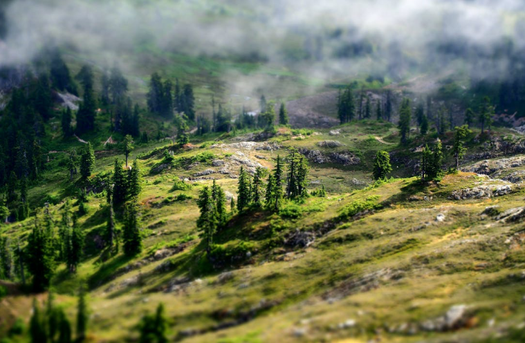
Mapping & Surveying
When range matters
The Astero is the optimal choice for various mapping applications across industries.With the Astero it is possible to collect a large amount of data in less time. Surveying unexplored large areas with high accuracy and high-resolution cameras is one of its many features.
The Astero offers a large range of opportunities for surveying and mapping and supports geospatial tasks.
Surveying unexplored large areas with high accuracy and high-resolution cameras
Thermal surveying and inspection e.g., district heating infrastructure
Solar Park surveying
For GIS (geographic information system)
Geo-referenced aerial images for 2D and 3D mapping
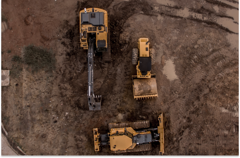
Construction & Mining
The Astero can optimize and improve the overall efficiency of construction, mining, and infrastructure projects, by offering a dynamic oversight of all operations.
Site planning
Mapping construction site
Building site surveillance
Ongoing quality control
Quarry management
Detailing site conditions
Operation oversight
Volumetric measurement
Monitoring of linear infrastructure e.g., road, railways, pipelines etc.
Environment
The Astero is well suited to help in response to humanitarian and environmental challenges giving you a fast overview, with its variety of sensors and long flight time.
Flooding
Wildfires
Oil and chemical emissions
Earth and coast erosion
Avalanche
Volcanic activity surveillance
Determine invasive species
Mapping & Surveying
When range matters
The Astero is the optimal choice for various mapping applications across industries.With the Astero it is possible to collect a large amount of data in less time. Surveying unexplored large areas with high accuracy and high-resolution cameras is one of its many features.
The Astero offers a large range of opportunities for surveying and mapping and supports geospatial tasks.
Surveying unexplored large areas with high accuracy and high-resolution cameras
Thermal surveying and inspection e.g., district heating infrastructure
Solar Park surveying
For GIS (geographic information system)
Geo-referenced aerial images for 2D and 3D mapping
Construction & Mining
The Astero can optimize and improve the overall efficiency of construction, mining, and infrastructure projects, by offering a dynamic oversight of all operations.
Site planning
Mapping construction site
Building site surveillance
Ongoing quality control
Quarry management
Detailing site conditions
Operation oversight
Volumetric measurement
Monitoring of linear infrastructure e.g., road, railways, pipelines etc.
Environment
The Astero is well suited to help in response to humanitarian and environmental challenges giving you a fast overview, with its variety of sensors and long flight time.
Flooding
Wildfires
Oil and chemical emissions
Earth and coast erosion
Avalanche
Volcanic activity surveillance
Determine invasive species
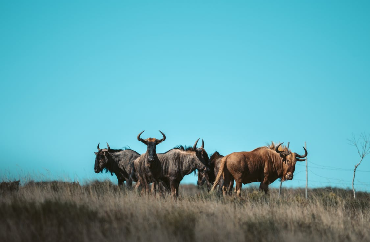
Agriculture, Forestry & Wildlife
The Astero offers a wide range of support to agriculture, forestry and wildlife with its variety of sensors and long flight time.
Agriculture:
Agriculture and cadastral mapping
Pest infestation detection
Water irrigation optimization
Wildlife:
Anti Poaching measures
Wildlife surveillance
Encroachment monitoring
Wildlife counting
Endangered species protection
Forestry:
Firebelt
Replanting
Optimization of forestry
Surveillance of rainforest development
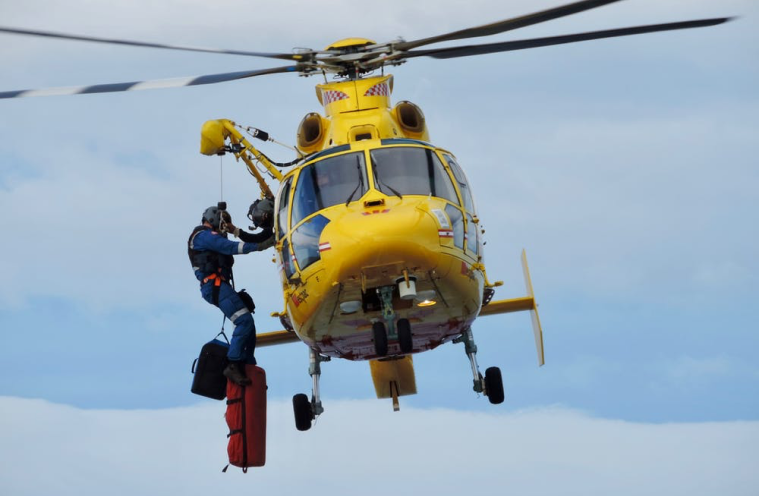
Search & Rescue
The Astero is extremely well suited for search and rescue operations with its superior sensors, fast launch, and long range.
Search operation of missing people in all terrain
Emergency
Grid search from a bird’s eye view
Supporting ground rescue – creating extended reach for
ground search
Sea and shoreline surveillance
Academics & Research
For academics and research the Astero offers an open payload frame for easy integration of any sensor. The long flight time enables you to collect large amounts of data or research information.
Agriculture, Forestry & Wildlife
The Astero offers a wide range of support to agriculture, forestry and wildlife with its variety of sensors and long flight time.
Agriculture:
Agriculture and cadastral mapping
Pest infestation detection
Water irrigation optimization
Wildlife:
Anti Poaching measures
Wildlife surveillance
Encroachment monitoring
Wildlife counting
Endangered species protection
Forestry:
Firebelt
Replanting
Optimization of forestry
Surveillance of rainforest development
Search & Rescue
The Astero is extremely well suited for search and rescue operations with its superior sensors, fast launch, and long range.
Search operation of missing people in all terrain
Emergency
Grid search from a bird’s eye view
Supporting ground rescue – creating extended reach for
ground search
Sea and shoreline surveillance
Academics & Research
For academics and research the Astero offers an open payload frame for easy integration of any sensor. The long flight time enables you to collect large amounts of data or research information.